Classify alignment ground
Classifies ground points acquired by MMS, producing two categories: ground, type 2, and nonground, type 6.
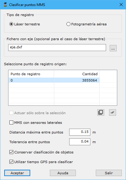
Parameters:
- Capture type: Terrestrial laser for MMS or Aerial photogrammetry for UAV systems.
- Axis file: optional but recommended, reducing calculations and improving accuracy. If absent, the program estimates the vehicle trajectory from the cloud. Formats: BIN, DXF, DGN, Shape or an ASCII orientation file for MMS images.
- MMS with side sensors: enable if the MMS has lateral scanners in addition to the main scanner, usually near the vehicle center.
- Maximum distance among points: potential distance between consecutive scan profiles, depending on vehicle speed. Since this will not exceed 100 km/h, 20 cm is a typical value.
- Point tolerance: maximum elevation discrepancy between nearby points considered part of the same surface. Increase for uneven tracks. A typical value is 4 cm.
- Keep object classification: preserves existing point classifications.
- Use GPS time for classification: enable for continuous acquisitions where position relates to acquisition time. Disable if multiple scan passes were performed.
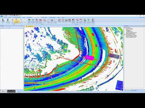 Detect road ground from MMS data