DSM from MMS data
Calculates a 3D digital surface model from a Mobile Mapping System cloud: a DTM of ground, asphalt and white line points, plus separate three-dimensional models of recorded objects based on classified points.
Required data:
- Ground-defining types: ground, asphalt, road marking and other ground point classifications.
- Object-defining types: classifications of road objects such as signs, streetlights and guardrails.
- Maximum distance among points: maximum spatial neighbor distance.
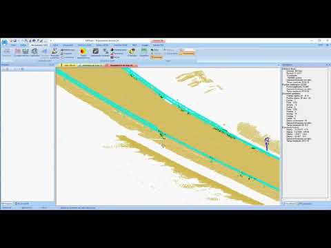 Calculate a road DSM from MMS data