Find points on planes
This tool classifies points forming planar surfaces.
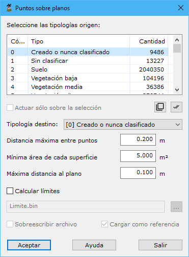
Required fields:
- Select source typologies: point classifications considered.
- Work only on the current selection: processes only currently selected points.
- Target type: classification assigned to points meeting the calculation conditions.
- Maximum distance among points: maximum neighbor distance, based on point density. Excessive values include distant points; insufficient values leave points with no related neighbors.
- Minimum surface area: minimum area of the formed surface.
- Maximum distance to plane: maximum perpendicular distance for a point to belong to the surface.
- Compute boundaries: also calculates the vector entity defining the formed surface.
- Name: generated vector boundary file name.
- Overwrite existing file: replaces an existing file if desired.
- Load as reference file: loads vector boundaries after calculation.
Accepting opens a dialog for managing points defining the plane.
See also:
- Find elevated points
- Find isolated points
- Find airborne points
- Find sunken points
- Find points by intensity difference
- Find points by flight line
- Find points by geometry plus RGB
- Find points by geometry plus intensity
- Find points on flat surfaces
- Find points on walls
- Find ground points only
- Magic Surface
- Find neighboring points
- Find points by infrared
- Find gaps
- Find points by surface area
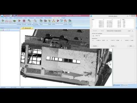 Identify points on planes