Example 4: Obtain a hypsometric tint map
Objective
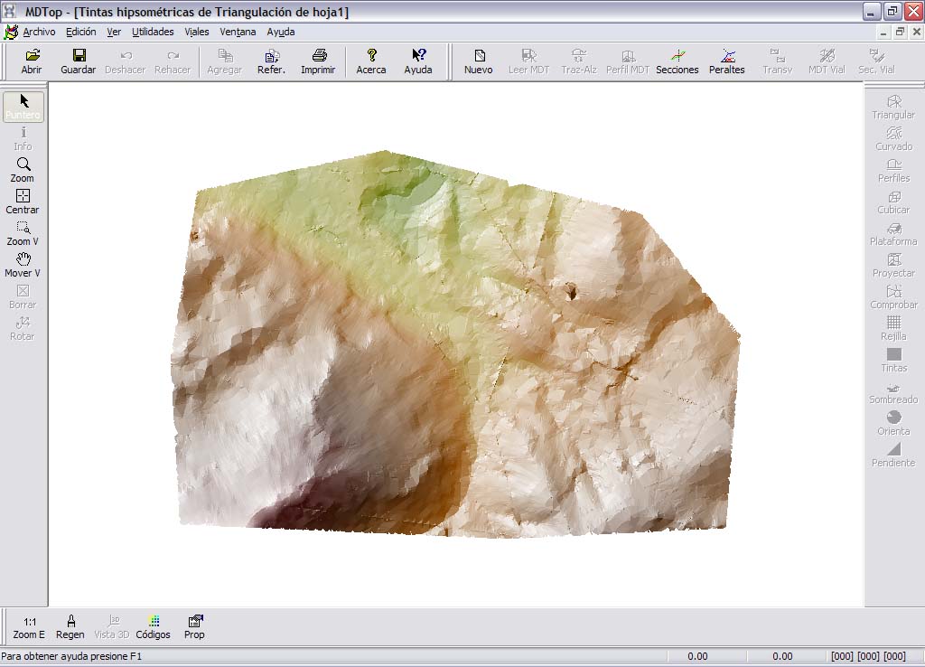
Generate a hypsometric tint map from mapping data.
Input files
- HOJA1.DXF: AutoCad DXF mapping file.
- LIMITE.DXF: AutoCad DXF boundary of the area to map.
Procedure
- Load HOJA1.DXF using Open from the MDTopX button, selecting DXF files.
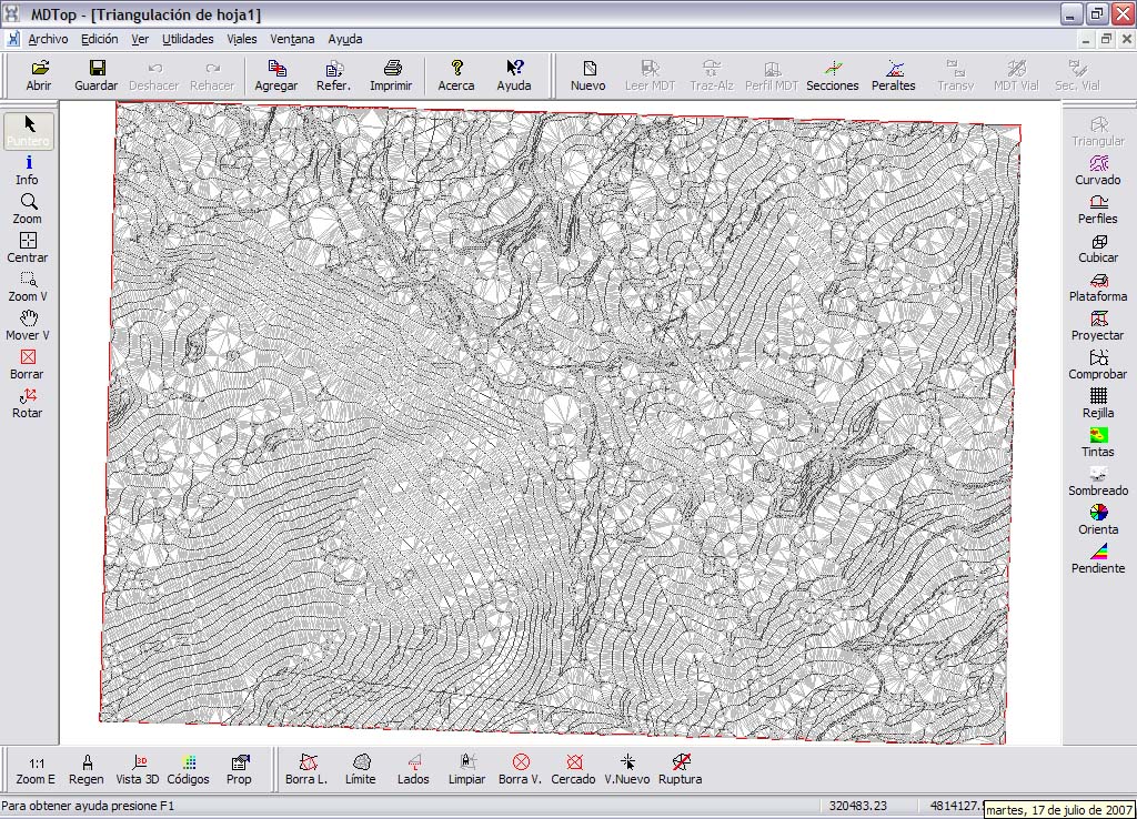
- Run Triangulate on the DTM tools tab to generate a digital terrain model from the mapping. Select which lines are breaklines and which lines to use to calculate the model.
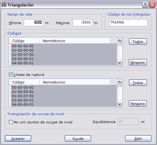
- Run Hypsometric on the DTM tools tab and configure the map's appearance: color ranges, shading, boundary file, etc.
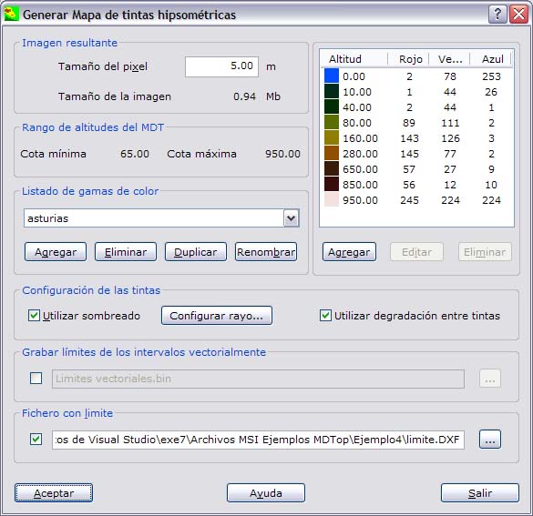
- A raster image file is generated.
Output files
- TRIANGULACION DE HOJA1.MDT: digital terrain model in MDTop's native format. Not included to save space.
- TINTAS HIPSOMETRICAS DE TRIANGULACION DE HOJA1: hypsometric tint map image. Save it as TIFF, BMP or JPEG.
- TINTAS HIPSOMETRICAS DE TRIANGULACION DE HOJA1.ORT: MDTop native file providing raster georeferencing.
[ort]
Pixel=5.00
X=319694.57
Y=4814338.39
Z=0.00
EscalaZ=1.000000