Surveying, photogrammetry, and terrain models
Professional software for surveyors, civil engineers, and LiDAR technicians.
Digi21 software supports photogrammetric stereoplotting and generates terrain models, contour lines, roads, volume calculations, orthophotos, and 3D models from field data or point clouds.
Our main products
Digi3D.AI for photogrammetric stereoplotting and MDTopX for terrain modeling and point cloud processing.
Lot Of Points + MDTopX algorithms
Dense point cloud viewer
Lot Of Points now includes MDTopX algorithms that run on the cloud loaded in the viewer. The new urban classification algorithm automatically classifies an urban point cloud and generates vector geometries, facade orthophotos, and a ground model.
Read the blog postDigi3D.AI
Digital photogrammetric workstation with an artificial intelligence (AI) assistant for querying and editing drawings
Map geographic entities in stereo from dense point clouds, orthophotos, satellite images, and perspective or pushbroom cameras. A product with integrated computer-aided design (CAD) and geographic information system (GIS) tools, with no need for AutoCAD, MicroStation, or ArcGIS.
- AI-powered: an assistant queries and edits the drawing in natural language
- Dense point clouds for stereoplotting
- Perspective, satellite, pushbroom, and stereo orthophoto sensors
- CAD/GIS with ~400 commands designed for photogrammetry
- Extensible with Python and .NET 10
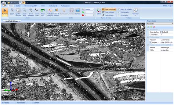
MDTopX
Digital terrain models, LiDAR, and civil engineering
From field data, point clouds, or aerial images to engineering results: generate terrain surfaces, analyze them, and produce contour lines, profiles, volumes, road alignments, orthophotos, and 3D models.
- Modeling with triangulated irregular networks (TIN) and digital terrain models (DTM), plus thematic terrain maps
- LiDAR and Mobile Mapping point cloud processing
- Roads, volume calculations, and contour lines
- Orthophotos, 3D visualization, and Python automation
Also from Digi21
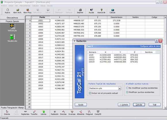
Topcal21
Surveying calculations
Solve all the calculation problems in your surveying projects.
Blog news
View all postsNovember 2, 2026
Creating a Digi3D.AI command without programming knowledge using the AI chat panel
In this video we use the Digi3D.AI AI chat panel to create the AREA_TOTAL command in real time. It works like the AREA command, but inserts a text with the area of several geometri…
October 26, 2026
New MDTopX Urban Classification algorithm
Introducing Urban Classification, a new MDTopX algorithm that automatically classifies a point cloud of an urban environment and generates vector geometries, facade orthophotos, an…
March 17, 2025
Create tasks to go to closed geometries with an area below a given value
In this video, we explain how to create a Python script that adds a task to the tasks pane for each geometry with an area below a given value. You can adapt it to your needs. The c…
Need help choosing?
Tell us about your project and we will advise you on the Digi21 products that support your project's surveying and mapping tasks.