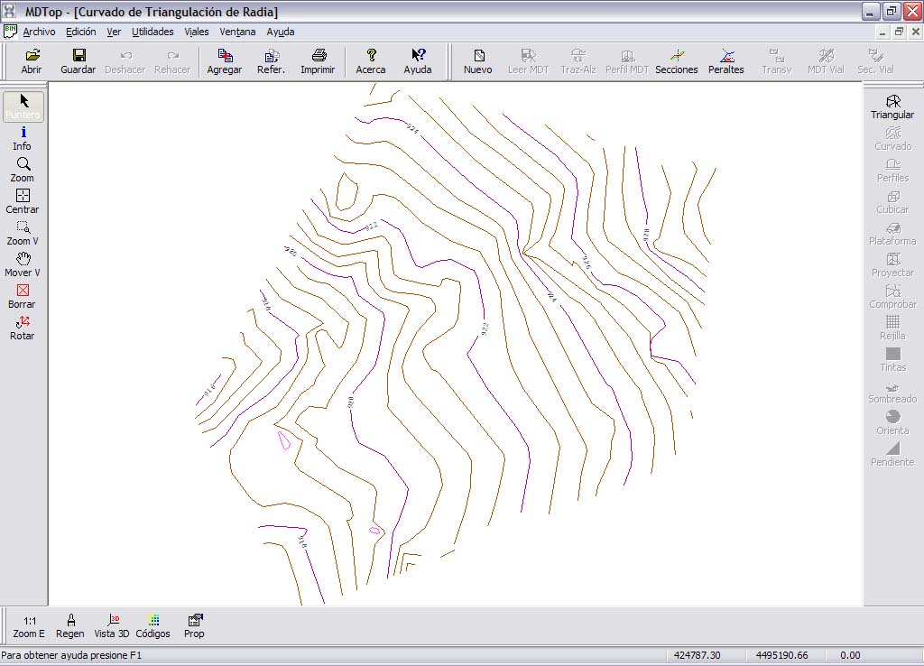
Example 1: Contouring from a point cloud
Objective
Generate contours for an area from a tachymetric survey.
Input files
- RADIA.PTS: TopCal file containing surveyed points in the area to contour.
- LIMITE.DXF: AutoCad DXF file containing the area's boundary as a single closed line.
Procedure
- Load RADIA.PTS using Open from the MDTopX button, selecting TopCal files.
- The screen displays a point cloud with two text labels for each point: its number and elevation.
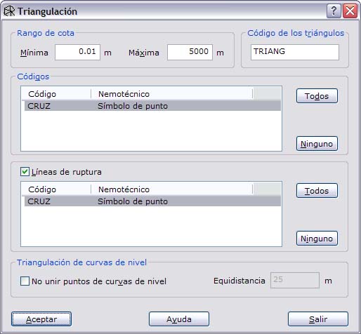
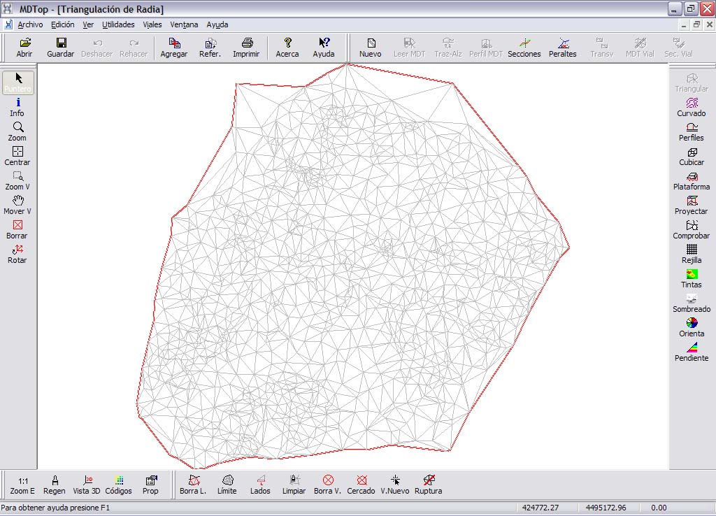
- Run Triangulate on the DTM tools tab to generate a digital terrain model from the survey. The file contains only points, so there are no breaklines. The resulting digital model contains many triangles visible on screen.
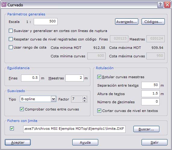
- With this file active, run Contours on the DTM tools tab. For the boundary file, enter the DXF containing the area boundary. The resulting contours can be saved in your chosen format.
Output files
- TRIANGULACION DE RADIA: digital terrain model in MDTop's native format.
- CURVADO DE TRIANGULACION DE RADIA: drawing file containing contour lines. Save it for editing as DIGI BIN, AutoCad DXF or MicroStation DGN.