Split in elements
Classifies a terrestrial point cloud by measured objects, assigning different types to identified objects.
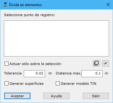
Required parameters:
- Source point: measurement origins to classify.
- Only in the selection: processes only currently selected points.
- Tolerance: ground coordinate separation above which consecutive points are not considered part of the same object.
- Max distance: maximum distance between recorded points.
- Generate surfaces: automatically generates surfaces from points belonging to the same object.
- Generate TIN model: automatically generates a TIN model for each identified object.