Cloud color
This list chooses how to display the point cloud. Available options depend on its properties.
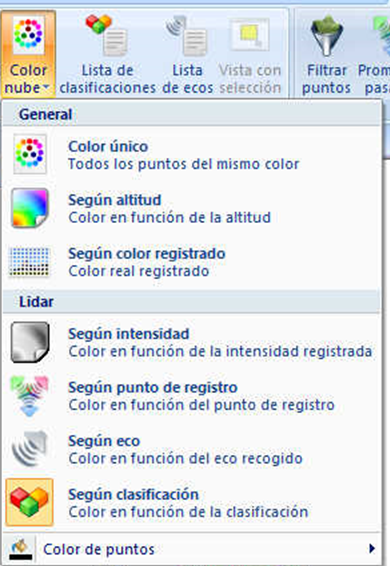
Options:
- One color: all points use the same color, set with Point color in this list.
- By intensity: colors points by intensity recorded by the laser device.
- By echo: colors points by recorded LiDAR return. Set each return's color in the Echo list. Useful only with multiple echoes or returns, common in airborne LiDAR.
- By classification: colors points by assigned LiDAR classification. Set colors in the Classification list.
- By height: colors points by elevation or Z coordinate. A dialog specifies the color range.
- By source point: colors points by measurement origin, identifying flight lines in airborne LiDAR or scanner stations in terrestrial LiDAR.
- Point color: color used when One color is selected.