Visibility
This tool calculates the area visible from a particular point. The output image shows visible area pixels in red.
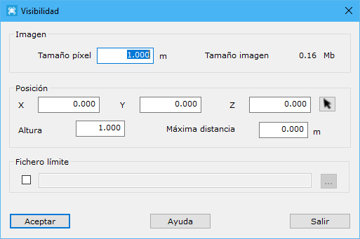
The dialog contains these fields:
- Image: configures the output image. Specify pixel size in meters. Larger pixels produce lower image quality.
- Position: observer XYZ coordinates. Use the cursor button to select the position on screen.
- Height: observer height above the DTM.
- Maximum distance: maximum visibility distance. Set 0 to disregard distance.
- Limit file: file containing closed vector entities defining where to calculate visibility.
Requires an active triangulated digital model document.