Volume image
This tool generates a georeferenced image of a document containing a volume calculation. The volume calculation document is displayed as a digital terrain model, with cut and fill areas in different colors.
The tool generates a georeferenced image with the same colors, which you can use as a reference on other documents to analyze the volume calculation areas.
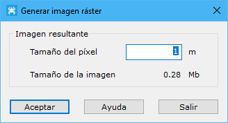
The tool displays a dialog for specifying the resulting image's pixel size. Click OK to generate a new document, which can then be saved in TIF, BMP or JPEG format. Saving also generates an ASCII file with the same name and the ORT extension, containing the map's georeferencing: upper-left corner coordinates and pixel size in meters.